Key Takeaways

  • Geocoding converts text addresses into precise latitude and longitude coordinates, enabling accurate location mapping and navigation in complex urban environments.
  • Effective geocoding solutions help businesses eliminate fake addresses, reduce delivery time, and optimize resource allocation across both developed and developing markets.
  • Modern geocoding systems must balance technical accuracy with practical usability, providing approximate nearby locations when exact coordinates aren't available.
  • Locus's smart geocoding engine transforms imprecise addresses into accurate coordinates while offering location tagging and heat maps to improve delivery efficiency and reduce operational costs.

What is Geocoding?

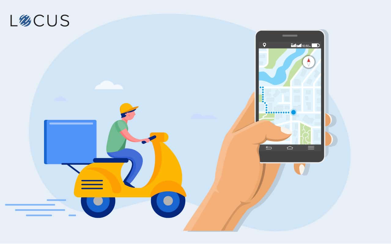
The process of converting an address in text format to a latitude and longitude is known as geocoding. Creating coordinates for locations helps place it on a map.

Geocoding is essential in today’s world as both cities and businesses are growing. Searching for a particular location in twisted lanes and alleys is like finding a needle in a haystack. A good geocoding solution can save time and resources as well as increase efficiency. It also helps to pick out fake addresses. Geocoding intelligence is a valuable asset in both developed and developing countries.

Locus’s geocoding solution follows a more practical approach rather than a technical one, so it is designed to work well with humans. For instance, if the geocoding engine is unable to locate the exact coordinates then it gives a nearby location from where the delivery person can find their way.

Locus’ Smart Geocoding Solutions help to

Increase order delivery per rider | Reduce fuel costs | Improve customer satisfaction | Introduce location tagging and geospatial-heat maps

Related Resources

Geocoding - Necessary information is sufficient information
Why Geocoding matters and the tech behind it
Specialized Route Optimization Engine VS Google Maps Route Optimization: What’s the Difference?
strip-left-pattern

Streamline your operations now!

strip-right-pattern

Schedule a meeting with Locus

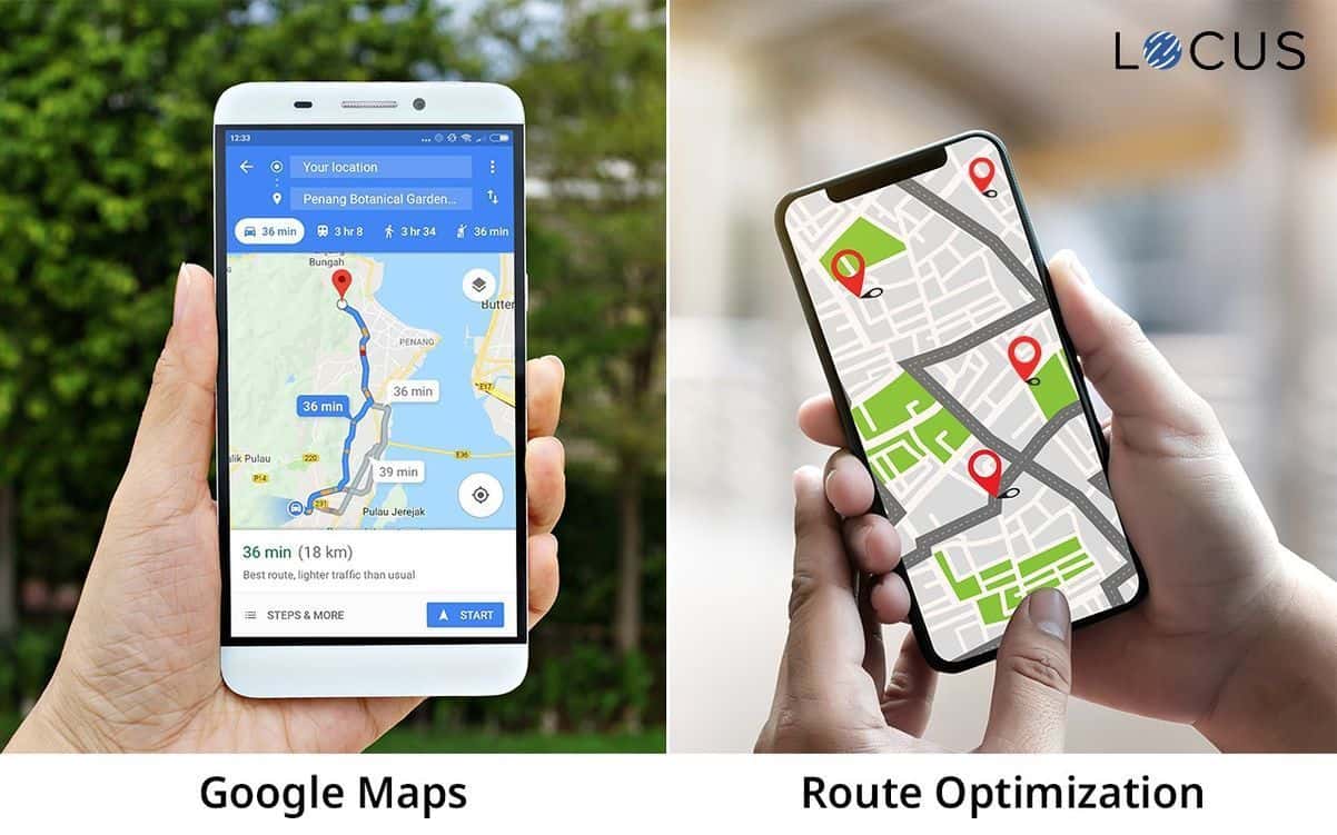
How can Locus help manage your logistics?

  • Locus’ proprietary geocoding engine converts the fuzziest of the addresses into precise geographical coordinates thereby helping your on-ground executives locate addresses easily.
  • Digitize all your operational variables such as fleets, delivery persons etc. to come up with the best route plan every day.
  • Track your orders in real-time with the Locus Live Dashboard. Locus’ all-mile delivery app Locus On The Road (LOTR) helps delivery partners process orders.
  • Visualize and tweak your scheduled plans via three key metrics— geography, time, & vehicle (fleet)—with a birds-eye view of your entire operations.
  • Build your own reports and analyze important parameters that you need to make key decisions.

Join Industry Leaders:

68m+ miles

Reduction in distance traveled

12m+ kgs

Reduction in GHG emissions

$330m+

Savings in logistics costs
brand logos
strip-left-pattern
strip-right-pattern