Tech and Product
Liberalization of Geospatial Data and Mapping Policies Could Unlock New Doors for India’s Logistics Tech Industry
Key Takeaways
- India’s new deregulation of geospatial data eliminates the need for government approvals and licenses, allowing companies to freely collect, generate and utilize mapping data within Indian territory.
- The liberalization enables faster development of location-based technologies and services, particularly benefiting logistics optimization, route planning, and supply chain management applications.
- The policy change reduces India’s dependence on foreign mapping services like Google Maps API, creating opportunities for domestic companies to develop sophisticated local mapping solutions.
- Locus’s advanced routing capabilities will leverage enhanced access to India’s infrastructure and points-of-interest data to deliver more precise, customized logistics optimization solutions.
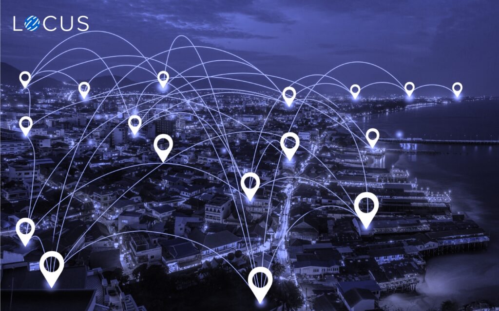
India’s Ministry of Science and Technology has announced changes to the country’s mapping and geospatial data laws, liberalizing regulations on geospatial information, making it freely available for innovation and IT companies across the country.
New guidelines have been issued for acquiring and producing geospatial data and geospatial data services, including maps. Indian citizens, corporations, and innovators will no longer be subject to restrictions, nor will they require prior approvals before they collect, generate, prepare, disseminate, store, publish, or update digital geospatial data and maps within the territory of India.
Geospatial data covers information about all objects, events, or phenomena that have a location on the surface of the Earth. The location may be static — like the location of a road, building, monument, lake, or mountain; or it could be dynamic — like a moving vehicle, a pedestrian walking on the road, or even the spread of an infectious disease. It involves information of public interest such as road networks, localities, rail lines, water bodies, and public amenities.
This geospatial data is fundamental to Geographic Information System, or GIS, the information technology system that allows for the storage, analysis, and display of information that has geographic components, and visualization of multiple layers of geographic data for people to understand, utilize and interpret easily.
GIS and geospatial data are widely used around the world for several national, scientific, and commercial purposes. The logistics sector uses geospatial information for inventory management, address mapping, establishing and monitoring delivery routes, managing supply chain networks, monitoring and managing fleet vehicles, managing properties, and locating customers and workforce.
Prior to the deregulation of geospatial data and mapping policies, companies needed government approval and licenses to produce, change or disseminate such geospatial information. This system of acquiring permissions used to take months for approvals, delaying location-based projects.
Also, due to the several restrictions on geospatial data, India was heavily reliant on foreign resources for mapping technologies and services, predominantly the Google Maps API.
The deregulation eliminates the requirement of these permissions and licenses. Indian companies must, however, self-attest conforming to government guidelines.
Impact of the Mapping Regulation on India’s Logistics Industry
“The availability of comprehensive, highly accurate, granular, and constantly updated representation of geospatial data will significantly benefit diverse sectors of the economy and will significantly boost innovation in the country and greatly enhance the preparedness of the country for emergency response,” the Union Science and Technology Minister, Mr. Harsh Vardhan, said in a release.
This initiative will especially benefit companies in the geospatial technology, location intelligence, and logistics optimization ecosystems. It will make way for more evolved, precise, and sophisticated technology innovations in route planning technology, network optimization, mobile mapping systems, satellite-based geocoding techniques, and location-based visibility.
Innovations in location intelligence will further augment the growth of several inter-related business sectors including e-commerce, urban mobility, retail, 3PL and 4PL supply chains, and hyperlocal delivery markets. It will also drive more international investments in India’s logistics tech industry and will boost the competitiveness of Indian companies in the global market.
“Innovation works best when it is only restricted by imagination. So far, innovation in the field of location intelligence has primarily focused on location-based data, but very few entities tightly control the underlying data itself or the actual mapping. Now, one can create better customization and quality, and also at a cheaper price,” said Shantanu Bhattacharrya, Chief Data Scientist, Locus.
“The liberalization of mapping is a game-changer, particularly for companies like Locus, specializing in creating advanced routing solutions. Now there will be far greater visibility on the country’s fast-changing points of interest data and connectivity infrastructure. Also, the procurement or usage of such information can be a lot more straightforward. This initiative by the GoI would surely unleash the animal spirits in the location entrepreneurship space,” he further added.
This visionary step of the Indian government will nurture the country’s mission to become “Atmanirbhar Bharat” — an independent India, and will certainly fortify technological advancements in the field of location intelligence, geospatial data science, and mapping services, creating myriad opportunities for India to be a global market leader in this space in the years to come.
Sources:
- https://www.itln.in/logistics-tech-firms-welcome-deregulation-of-geospatial-data
- https://libguides.library.arizona.edu/GIS/about-gis
- https://mapasyst.extension.org/what-are-some-uses-for-gis/#:~:text=Common%20uses%20of%20GIS%20include,and%20managing%20agricultural%20crop%20data%2C
- https://www.business-standard.com/article/economy-policy/govt-liberalises-mapping-policy-allows-free-access-to-geospatial-data-121021501115_1.html
- https://www.businesstoday.in/current/economy-politics/government-liberalises-rules-on-geospatial-data-issues-new-guidelines/story/431370.html

Delivery Experience
Things Are Looking Up – The Future of E-Grocery
Feb 17, 2021
There are few things destined for growth and e-grocery is one of them. This is owed to the disruption caused by the pandemic. It has brought about an incredible change in consumer behaviour and finally broken one of the most difficult shopping patterns—grocery shopping. Although online shopping has cast a shadow on most retail stores, […]
Read more
Last Mile Delivery Optimization
How Delivery Logistics Software Helps Businesses Winter-Proof Their Logistics Operations
Mar 9, 2021
Key Takeaways Few of the severe and defining issues that have cropped up with global warming are the unprecedented and inevitable climate events like the one in Texas. It has become impossible to predict events such as winter storms, hurricanes, polar vortices and wildfires. The need of the hour is efficient contingency plans. Trucking companies […]
Read moreInsights Worth Your Time


Liberalization of Geospatial Data and Mapping Policies Could Unlock New Doors for India’s Logistics Tech Industry